
Sango topographic map
Interactive map
Click on the map to display elevation.
About this map
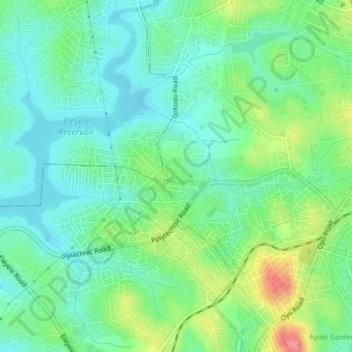
Name: Sango topographic map, elevation, terrain.
Location: Sango, Ibadan North, Oyo, 200284, Nigeria (7.40750 3.86028 7.44750 3.90028)
Average elevation: 201 m
Minimum elevation: 172 m
Maximum elevation: 268 m