
Mont Notre-Dame topographic map
Interactive map
Click on the map to display elevation.
About this map
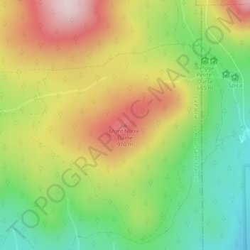
Name: Mont Notre-Dame topographic map, elevation, terrain.
Average elevation: 742 m
Minimum elevation: 553 m
Maximum elevation: 965 m
Other topographic maps
Click on a map to view its topography, its elevation and its terrain.
Montagne Noire
Montagne Noire, La Patrie, Le Haut-Saint-François, Estrie, Québec, Canada
Average elevation: 642 m
Parc national du Mont-Mégantic
Parc national du Mont-Mégantic, 212, La Patrie, Le Haut-Saint-François, Estrie, Québec, Canada
Average elevation: 624 m