
Waltham topographic map
Interactive map
Click on the map to display elevation.
About this map
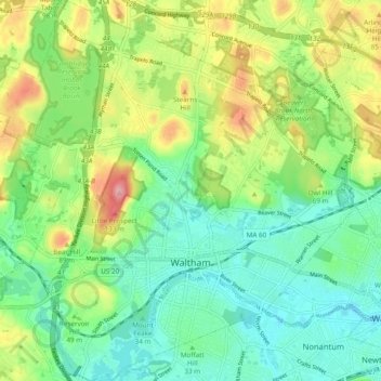
Name: Waltham topographic map, elevation, terrain.
Location: Waltham, Worcester, Massachusetts, United States of America (42.35362 -71.28608 42.42436 -71.19417)
Average elevation: 48 m
Minimum elevation: 2 m
Maximum elevation: 137 m