
Mankara topographic map
Interactive map
Click on the map to display elevation.
About this map
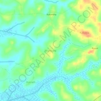
Name: Mankara topographic map, elevation, terrain.
Location: Mankara, Kambia District, North Western Province, Sierra Leone (8.91690 -12.96387 8.95690 -12.92387)
Average elevation: 15 m
Minimum elevation: 1 m
Maximum elevation: 39 m