
Borough of Queenscliffe topographic map
Interactive map
Click on the map to display elevation.
About this map
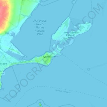
Name: Borough of Queenscliffe topographic map, elevation, terrain.
Location: Borough of Queenscliffe, Victoria, Australia (-38.29239 144.60075 -38.23761 144.70248)
Average elevation: 3 m
Minimum elevation: -3 m
Maximum elevation: 65 m
Other topographic maps
Click on a map to view its topography, its elevation and its terrain.