
Holzwinden topographic map
Interactive map
Click on the map to display elevation.
About this map
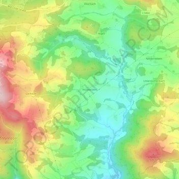
Name: Holzwinden topographic map, elevation, terrain.
Location: Holzwinden, Steyregg, Bezirk Urfahr-Umgebung, 4221, Österreich (48.29194 14.37361 48.33194 14.41361)
Average elevation: 387 m
Minimum elevation: 261 m
Maximum elevation: 563 m