
Bond topographic map
Interactive map
Click on the map to display elevation.
About this map
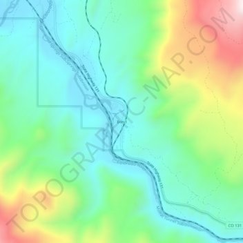
Name: Bond topographic map, elevation, terrain.
Average elevation: 2,226 m
Minimum elevation: 2,029 m
Maximum elevation: 2,696 m
Other topographic maps
Click on a map to view its topography, its elevation and its terrain.
Beaver Creek
Vereinigte Staaten von Amerika > Colorado > Eagle County
Beaver Creek, Eagle County, Colorado, 81260, Vereinigte Staaten von Amerika
Average elevation: 2,604 m