
Popa topographic map
Interactive map
Click on the map to display elevation.
About this map
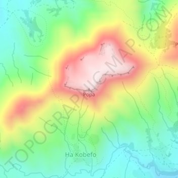
Name: Popa topographic map, elevation, terrain.
Location: Popa, Ha Kobefo, Maseru District, Lesotho (-29.54148 27.72646 -29.54138 27.72656)
Average elevation: 2,074 m
Minimum elevation: 1,860 m
Maximum elevation: 2,382 m