
Thank you for supporting this site ❤️
Make a donation
Make a donation
Asbury topographic map
Click on the map to display elevation.
Thank you for supporting this site ❤️
Make a donation
Make a donation
About this map
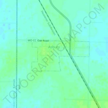
Name: Asbury topographic map, elevation, terrain.
Location: Asbury, Jasper County, Missouri, United States (37.26847 -94.61319 37.27702 -94.59499)
Average elevation: 273 m
Minimum elevation: 268 m
Maximum elevation: 278 m
Thank you for supporting this site ❤️
Make a donation
Make a donation
Other topographic maps
Click on a map to view its topography, its elevation and its terrain.