
The Anvil topographic map
Interactive map
Click on the map to display elevation.
About this map
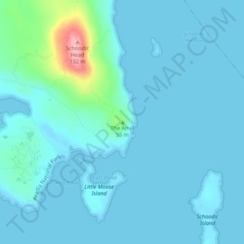
Name: The Anvil topographic map, elevation, terrain.
Location: The Anvil, Hancock County, Maine, 04613, USA (44.34170 -68.04589 44.34180 -68.04579)
Average elevation: 14 m
Minimum elevation: -2 m
Maximum elevation: 128 m
Other topographic maps
Click on a map to view its topography, its elevation and its terrain.
La Grande Island
La Grande Island, Grand Isle Township, Aroostook County, Maine, 04746, USA
Average elevation: 255 m