
Leeuw-Saint-Pierre topographic map
Interactive map
Click on the map to display elevation.
About this map
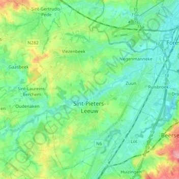
Name: Leeuw-Saint-Pierre topographic map, elevation, terrain.
Location: Leeuw-Saint-Pierre, Brabant flamand, Flandre, Belgique (50.74950 4.17362 50.82766 4.31333)
Average elevation: 43 m
Minimum elevation: 16 m
Maximum elevation: 118 m