
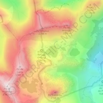
Lac Gentau topographic map
Interactive map
Click on the map to display elevation.
About this map
Name: Lac Gentau topographic map, elevation, terrain.
Average elevation: 1,986 m
Minimum elevation: 1,573 m
Maximum elevation: 2,354 m
Other topographic maps
Click on a map to view its topography, its elevation and its terrain.
Laruns
France > Nouvelle-Aquitaine > Laruns > Laruns
Laruns, Oloron-Sainte-Marie, Pyrénées-Atlantiques, Nouvelle-Aquitaine, France métropolitaine, 64440, France
Average elevation: 1,664 m