
Landsberg topographic map
Interactive map
Click on the map to display elevation.
About this map
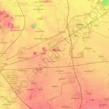
Name: Landsberg topographic map, elevation, terrain.
Location: Landsberg, Saalekreis, Sachsen-Anhalt, 06188, Deutschland (51.45677 11.99039 51.58269 12.20786)
Average elevation: 103 m
Minimum elevation: 35 m
Maximum elevation: 139 m