
Thank you for supporting this site ❤️
Make a donation
Make a donation
Blacklaw topographic map
Click on the map to display elevation.
Thank you for supporting this site ❤️
Make a donation
Make a donation
About this map
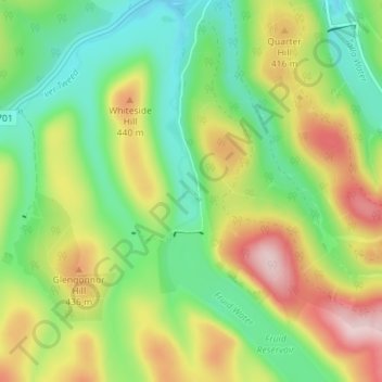
Name: Blacklaw topographic map, elevation, terrain.
Location: Blacklaw, Scottish Borders, Scotland, ML12 6QR, United Kingdom (55.45415 -3.46431 55.49415 -3.42431)
Average elevation: 360 m
Minimum elevation: 261 m
Maximum elevation: 512 m
Thank you for supporting this site ❤️
Make a donation
Make a donation