
Amuntai topographic map
Interactive map
Click on the map to display elevation.
About this map
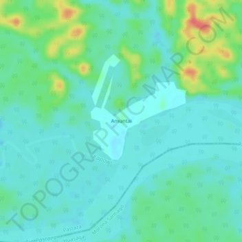
Name: Amuntai topographic map, elevation, terrain.
Location: Amuntai, Montalvo (Andoas), Pastaza, Ecuador (-2.55978 -76.85949 -2.51978 -76.81949)
Average elevation: 255 m
Minimum elevation: 241 m
Maximum elevation: 299 m
Other topographic maps
Click on a map to view its topography, its elevation and its terrain.