
Placy topographic map
Interactive map
Click on the map to display elevation.
About this map
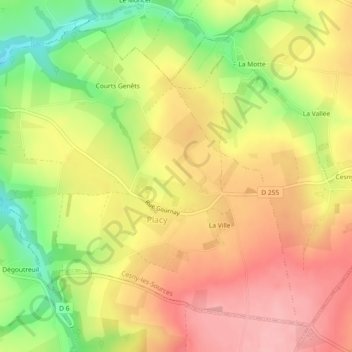
Name: Placy topographic map, elevation, terrain.
Average elevation: 154 m
Minimum elevation: 82 m
Maximum elevation: 207 m
La superficie de Placy est de 546 hectares (5,46 km2) avec une altitude minimum de 60 mètres et un maximum de 206 mètres.