
360 views of Rakaposhi and Hunza topographic map
Interactive map
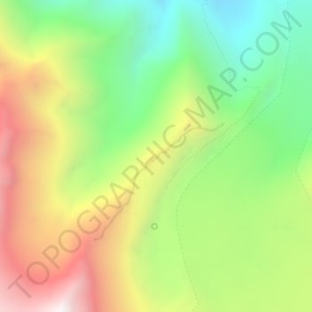
Click on the map to display elevation.
About this map
Name: 360 views of Rakaposhi and Hunza topographic map, elevation, terrain.
Average elevation: 3,472 m
Minimum elevation: 2,916 m
Maximum elevation: 4,190 m