
Make a donation
Manila Bay topographic map
Click on the map to display elevation.
Make a donation
About this map
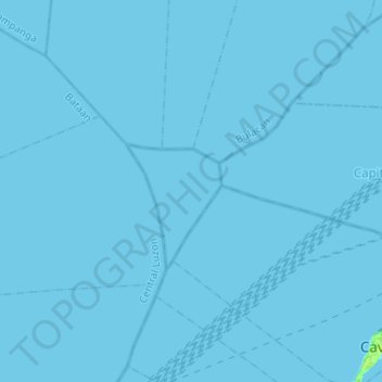
Name: Manila Bay topographic map, elevation, terrain.
Location: Manila Bay, Cavite, Calabarzon, Philippines (14.46068 120.64643 14.70535 120.89925)
Average elevation: 0 m
Minimum elevation: 0 m
Maximum elevation: 8 m
Make a donation
Other topographic maps
Click on a map to view its topography, its elevation and its terrain.
Make a donation
Cavite
Another theory proposes that the name is a Hispanicized form of kabit, Tagalog for "joined", "connected", or "attached", referring to the peninsula's topographical relation to the mainland. Edmund Roberts, in his 1821 memoir, stated that the "natives" called it Caveit due to the "crooked point of land…
Average elevation: 88 m
Make a donation
Trece Martires
Philippines > Cavite > Trece Martires
The city of Trece Martires is characterised with ground elevation ranging from 30 metres (98 ft) to nearly 400 metres (1,300 ft). Its ground slope ranges from 0.5 to 2%.
Average elevation: 142 m