
Bruchsal - Schwetzingen topographic map
Interactive map
Click on the map to display elevation.
About this map
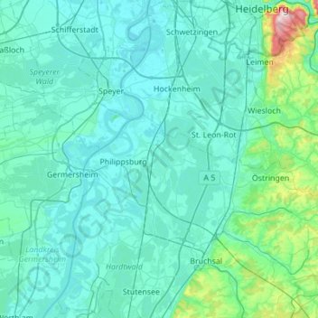
Name: Bruchsal - Schwetzingen topographic map, elevation, terrain.
Average elevation: 132 m
Minimum elevation: 90 m
Maximum elevation: 576 m