
Thank you for supporting this site ❤️
Make a donation
Make a donation
Shat topographic map
Click on the map to display elevation.
Thank you for supporting this site ❤️
Make a donation
Make a donation
About this map
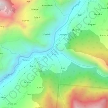
Name: Shat topographic map, elevation, terrain.
Location: Shat, Kullu, Himachal Pradesh, India (31.95172 77.19491 31.99172 77.23491)
Average elevation: 1,729 m
Minimum elevation: 1,264 m
Maximum elevation: 2,642 m
Thank you for supporting this site ❤️
Make a donation
Make a donation