
Gesves topographic map
Interactive map
Click on the map to display elevation.
About this map
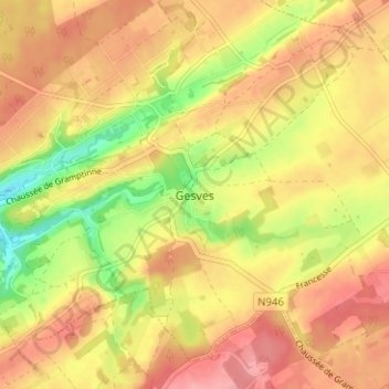
Name: Gesves topographic map, elevation, terrain.
Location: Gesves, Namur, Wallonie, 5340, Belgique (50.38285 5.05762 50.42285 5.09762)
Average elevation: 259 m
Minimum elevation: 201 m
Maximum elevation: 298 m
Other topographic maps
Click on a map to view its topography, its elevation and its terrain.