
Thank you for supporting this site ❤️
Make a donation
Make a donation
Buschhausen topographic map
Click on the map to display elevation.
Thank you for supporting this site ❤️
Make a donation
Make a donation
Buschhausen
Höhepunkte des Gressenicher Karnevals sind der alljährliche Karnevalsfreitag im Festzelt auf dem Marktplatz und der große Karnevalsumzug am Sonntag.
Thank you for supporting this site ❤️
Make a donation
Make a donation
About this map
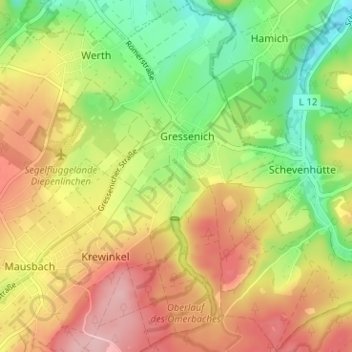
Name: Buschhausen topographic map, elevation, terrain.
Average elevation: 247 m
Minimum elevation: 167 m
Maximum elevation: 329 m
Thank you for supporting this site ❤️
Make a donation
Make a donation