
Thank you for supporting this site ❤️
Make a donation
Make a donation
Vallur topographic map
Click on the map to display elevation.
Thank you for supporting this site ❤️
Make a donation
Make a donation
About this map
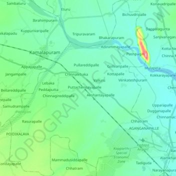
Name: Vallur topographic map, elevation, terrain.
Location: Vallur, YSR, Andhra Pradesh, India (14.48214 78.63610 14.64405 78.77455)
Average elevation: 139 m
Minimum elevation: 119 m
Maximum elevation: 228 m
Thank you for supporting this site ❤️
Make a donation
Make a donation
Other topographic maps
Click on a map to view its topography, its elevation and its terrain.