
Klingenthal topographic map
Interactive map
Click on the map to display elevation.
About this map
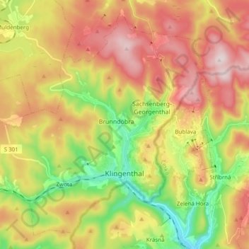
Name: Klingenthal topographic map, elevation, terrain.
Location: Klingenthal, Vogtlandkreis, Saksen, Duitsland (50.33373 12.36468 50.42047 12.51679)
Average elevation: 734 m
Minimum elevation: 516 m
Maximum elevation: 958 m