
Habur topographic map
Interactive map
Click on the map to display elevation.
About this map
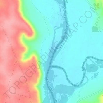
Name: Habur topographic map, elevation, terrain.
Location: Habur, Al-Hasakah, Syria (37.11662 42.34995 37.11672 42.35005)
Average elevation: 372 m
Minimum elevation: 334 m
Maximum elevation: 443 m