
Lommel topographic map
Interactive map
Click on the map to display elevation.
About this map
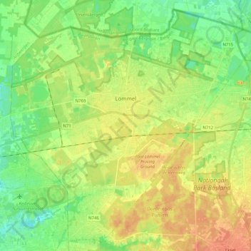
Name: Lommel topographic map, elevation, terrain.
Location: Lommel, Maaseik, Limburg, Flandern, 3920, Belgien (51.15755 5.21465 51.27576 5.41741)
Average elevation: 45 m
Minimum elevation: 28 m
Maximum elevation: 63 m