
Thank you for supporting this site ❤️
Make a donation
Make a donation
Rumgong topographic map
Click on the map to display elevation.
Thank you for supporting this site ❤️
Make a donation
Make a donation
About this map
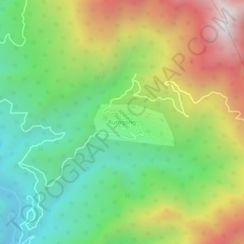
Name: Rumgong topographic map, elevation, terrain.
Location: Rumgong, Rumgong ADC, Siang District, Arunachal Pradesh, India (28.29096 94.86591 28.33096 94.90591)
Average elevation: 914 m
Minimum elevation: 326 m
Maximum elevation: 1,804 m
Thank you for supporting this site ❤️
Make a donation
Make a donation