
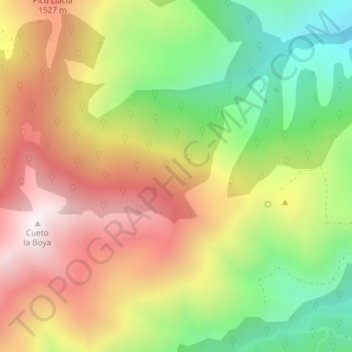
Braña Melende topographic map
Interactive map
Click on the map to display elevation.
About this map
Name: Braña Melende topographic map, elevation, terrain.
Location: Braña Melende, Aller, Asturias, 33681, España (43.05830 -5.61763 43.07830 -5.59763)
Average elevation: 1,214 m
Minimum elevation: 691 m
Maximum elevation: 1,744 m