
Thank you for supporting this site ❤️
Make a donation
Make a donation
Yelavi topographic map
Click on the map to display elevation.
Thank you for supporting this site ❤️
Make a donation
Make a donation
About this map
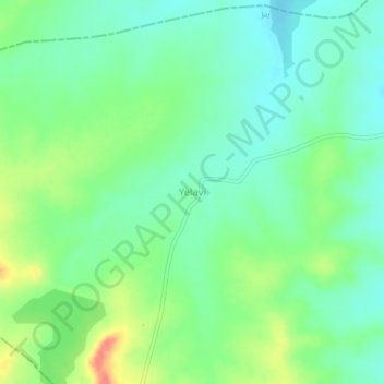
Name: Yelavi topographic map, elevation, terrain.
Location: Yelavi, Jat, Sangli District, Maharashtra, India (17.18221 75.29260 17.22221 75.33260)
Average elevation: 583 m
Minimum elevation: 561 m
Maximum elevation: 628 m
Thank you for supporting this site ❤️
Make a donation
Make a donation