
Thank you for supporting this site ❤️
Make a donation
Make a donation
Velloor topographic map
Click on the map to display elevation.
Thank you for supporting this site ❤️
Make a donation
Make a donation
About this map
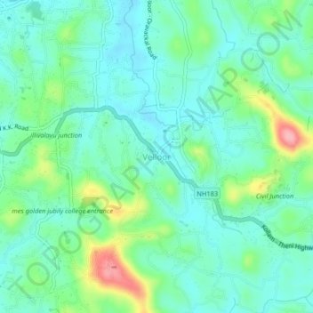
Name: Velloor topographic map, elevation, terrain.
Location: Velloor, Kottayam, Kottayam District, Kerala, 686501, India (9.56272 76.58814 9.60272 76.62814)
Average elevation: 38 m
Minimum elevation: 5 m
Maximum elevation: 135 m
Thank you for supporting this site ❤️
Make a donation
Make a donation
Other topographic maps
Click on a map to view its topography, its elevation and its terrain.
Thank you for supporting this site ❤️
Make a donation
Make a donation
Thank you for supporting this site ❤️
Make a donation
Make a donation