
Rudraram topographic map
Interactive map
Click on the map to display elevation.
About this map
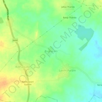
Name: Rudraram topographic map, elevation, terrain.
Average elevation: 104 m
Minimum elevation: 89 m
Maximum elevation: 122 m
Other topographic maps
Click on a map to view its topography, its elevation and its terrain.
Miryalaguda
India > Telangana > Miryalaguda mandal
Miryalaguda, Miryalaguda mandal, Nalgonda District, Telangana, 508200, India
Average elevation: 133 m