
Thank you for supporting this site ❤️
Make a donation
Make a donation
Xian County topographic map
Click on the map to display elevation.
Thank you for supporting this site ❤️
Make a donation
Make a donation
About this map
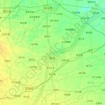
Name: Xian County topographic map, elevation, terrain.
Location: Xian County, Cangzhou, Hebei, 062200, China (38.05917 115.82438 38.37492 116.49960)
Average elevation: 15 m
Minimum elevation: 8 m
Maximum elevation: 23 m
Thank you for supporting this site ❤️
Make a donation
Make a donation
Other topographic maps
Click on a map to view its topography, its elevation and its terrain.