
Schafberg topographic map
Interactive map
Click on the map to display elevation.
About this map
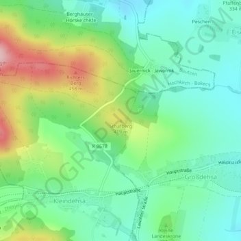
Name: Schafberg topographic map, elevation, terrain.
Location: Schafberg, Lawalde, Löbau, Görlitz, Sachsen, Deutschland (51.11382 14.60152 51.11392 14.60162)
Average elevation: 358 m
Minimum elevation: 294 m
Maximum elevation: 494 m