
Thank you for supporting this site ❤️
Make a donation
Make a donation
Paukhal topographic map
Click on the map to display elevation.
Thank you for supporting this site ❤️
Make a donation
Make a donation
About this map
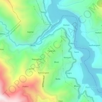
Name: Paukhal topographic map, elevation, terrain.
Location: Paukhal, Dhanaulti, Tehri Garhwal, Uttarakhand, 249196, India (30.52934 78.30758 30.56934 78.34758)
Average elevation: 1,095 m
Minimum elevation: 764 m
Maximum elevation: 1,938 m
Thank you for supporting this site ❤️
Make a donation
Make a donation