
Soroda Bota topographic map
Interactive map
Click on the map to display elevation.
About this map
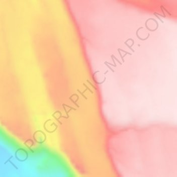
Name: Soroda Bota topographic map, elevation, terrain.
Location: Soroda Bota, Zone 1, Afar Region, Ethiopia (12.62556 41.93000 12.64556 41.95000)
Average elevation: 494 m
Minimum elevation: 226 m
Maximum elevation: 572 m
Other topographic maps
Click on a map to view its topography, its elevation and its terrain.