
兴隆湖 topographic map
Interactive map
Click on the map to display elevation.
About this map
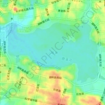
Name: 兴隆湖 topographic map, elevation, terrain.
Location: 兴隆湖, 天府新区, 双流区, 成都市, 四川省, 中国 (30.39113 104.07249 30.40685 104.09964)
Average elevation: 474 m
Minimum elevation: 455 m
Maximum elevation: 507 m
Other topographic maps
Click on a map to view its topography, its elevation and its terrain.