
Vágur topographic map
Interactive map
Click on the map to display elevation.
About this map
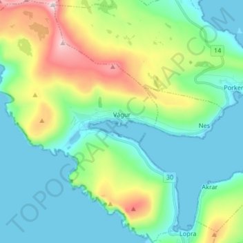
Name: Vágur topographic map, elevation, terrain.
Location: Vágur, Suðuroy region, 900, Faroe Islands (61.44109 -6.89566 61.50467 -6.77595)
Average elevation: 145 m
Minimum elevation: -9 m
Maximum elevation: 569 m