
Thank you for supporting this site ❤️
Make a donation
Make a donation
Khar topographic map
Click on the map to display elevation.
Thank you for supporting this site ❤️
Make a donation
Make a donation
About this map
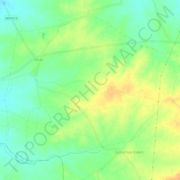
Name: Khar topographic map, elevation, terrain.
Location: Khar, Khalwa Tahsil, Khandwa District, Madhya Pradesh, India (21.74519 76.61918 21.78480 76.67099)
Average elevation: 321 m
Minimum elevation: 305 m
Maximum elevation: 340 m
Thank you for supporting this site ❤️
Make a donation
Make a donation