
Itt topographic map
Interactive map
Click on the map to display elevation.
About this map
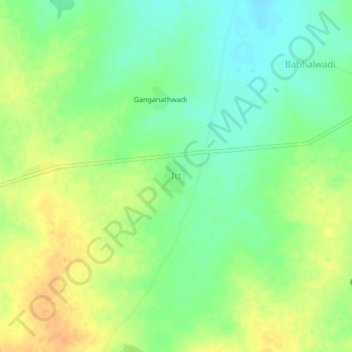
Name: Itt topographic map, elevation, terrain.
Location: Itt, Beed, Beed District, Maharastra, India (19.03127 75.88319 19.07127 75.92319)
Average elevation: 480 m
Minimum elevation: 464 m
Maximum elevation: 497 m