
Lawrence topographic map
Interactive map
Click on the map to display elevation.
About this map
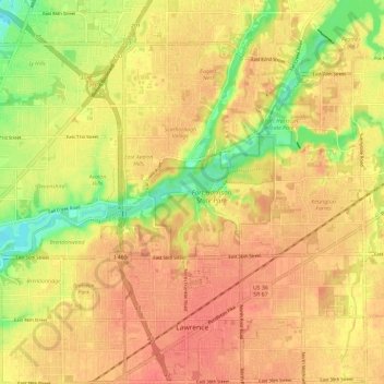
Name: Lawrence topographic map, elevation, terrain.
Location: Lawrence, Marion County, Indiana, Estados Unidos da América (39.82776 -86.05550 39.91306 -85.93806)
Average elevation: 254 m
Minimum elevation: 221 m
Maximum elevation: 270 m