
Wervik topographic map
Interactive map
Click on the map to display elevation.
About this map
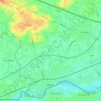
Name: Wervik topographic map, elevation, terrain.
Location: Wervik, Ieper, West Flanders, Flanders, Belgium (50.76973 2.99853 50.82989 3.09863)
Average elevation: 22 m
Minimum elevation: 8 m
Maximum elevation: 52 m