
Sulai topographic map
Interactive map
Click on the map to display elevation.
About this map
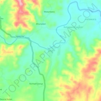
Name: Sulai topographic map, elevation, terrain.
Location: Sulai, Kherwara Tehsil, Udaipur District, Rajasthan, India (24.02243 73.48055 24.06243 73.52055)
Average elevation: 395 m
Minimum elevation: 342 m
Maximum elevation: 491 m