
Vella topographic map
Interactive map
Click on the map to display elevation.
About this map
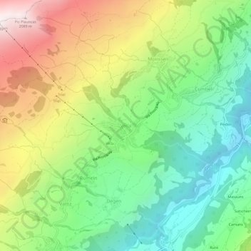
Name: Vella topographic map, elevation, terrain.
Location: Vella, Surselva, Grisons, 7144, Switzerland (46.69928 9.15313 46.73928 9.19313)
Average elevation: 1,318 m
Minimum elevation: 814 m
Maximum elevation: 2,102 m