
Alterschrofen topographic map
Interactive map
Click on the map to display elevation.
About this map
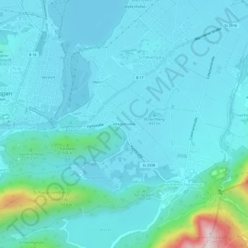
Name: Alterschrofen topographic map, elevation, terrain.
Location: Alterschrofen, Landkreis Ostallgäu, Baviera, 87645, Alemanha (47.54595 10.70656 47.58595 10.74656)
Average elevation: 843 m
Minimum elevation: 775 m
Maximum elevation: 1,339 m