
Kemel topographic map
Interactive map
Click on the map to display elevation.
About this map
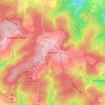
Name: Kemel topographic map, elevation, terrain.
Location: Kemel, Rheingau-Taunus-Kreis, Hessen, 65321, Duitsland (50.14531 7.99680 50.18531 8.03680)
Average elevation: 470 m
Minimum elevation: 320 m
Maximum elevation: 547 m