
Soron topographic map
Interactive map
Click on the map to display elevation.
About this map
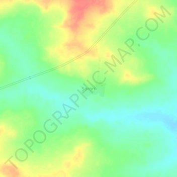
Name: Soron topographic map, elevation, terrain.
Location: Soron, Bougouni Cercle, Sikasso, Mali (11.24781 -7.83878 11.28781 -7.79878)
Average elevation: 379 m
Minimum elevation: 355 m
Maximum elevation: 410 m