
Gieterveen topographic map
Interactive map
Click on the map to display elevation.
About this map
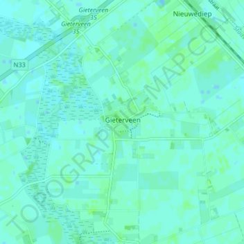
Name: Gieterveen topographic map, elevation, terrain.
Location: Gieterveen, Aa en Hunze, Drenthe, Nederland, 9511, Nederland (53.00593 6.81627 53.04593 6.85627)
Average elevation: 4 m
Minimum elevation: 1 m
Maximum elevation: 7 m