
Yarina topographic map
Interactive map
Click on the map to display elevation.
About this map
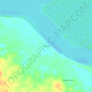
Name: Yarina topographic map, elevation, terrain.
Location: Yarina, San Pablo, Mariscal Ramón Castilla, Loreto, Perú (-3.89704 -71.33798 -3.85704 -71.29798)
Average elevation: 77 m
Minimum elevation: 69 m
Maximum elevation: 101 m
Other topographic maps
Click on a map to view its topography, its elevation and its terrain.
Provincia de Mariscal Ramón Castilla
Provincia de Mariscal Ramón Castilla, San Pablo, Mariscal Ramón Castilla, Loreto, Perú
Average elevation: 93 m