
Thank you for supporting this site ❤️
Make a donation
Make a donation
Schafberg topographic map
Click on the map to display elevation.
Thank you for supporting this site ❤️
Make a donation
Make a donation
About this map
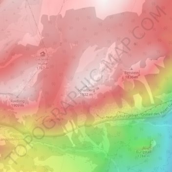
Name: Schafberg topographic map, elevation, terrain.
Location: Schafberg, Liezen, Bezirk Liezen, Styria, 8940, Austria (47.59973 14.17420 47.59983 14.17430)
Average elevation: 1,591 m
Minimum elevation: 808 m
Maximum elevation: 1,942 m
Thank you for supporting this site ❤️
Make a donation
Make a donation