
Gougnies topographic map
Interactive map
Click on the map to display elevation.
About this map
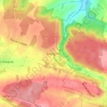
Name: Gougnies topographic map, elevation, terrain.
Location: Gougnies, Charleroi, Hennegau, Wallonien, 6280, Belgien (50.33444 4.55716 50.37444 4.59716)
Average elevation: 208 m
Minimum elevation: 138 m
Maximum elevation: 249 m